Paro Fortress

Fields in Paro Valley


Town of Paro

Beginning of trek to Jomolhari Base camp, then on to Laya and Gasa

Indian army camp/checkpoint. The Indian army has a large presence in Bhutan, seemingly to ward off the threat of a Chinese invasion


The left path leads to a closed border pass with Tibet/China, the right leads to Jomolhari basecamp along the border


Left building is a center to treat animals, the middle building is the Basic Health Unit

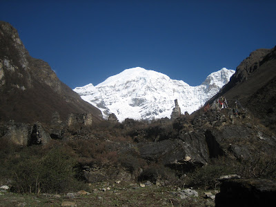
Jomolhari base camp - Mt. Jomolhari (7315m), with a ruined fortress in the foreground

Jitchu Drake (6714m)

Looking east from Nyile La, at ~4900m. Between Jangothang and Lingshi

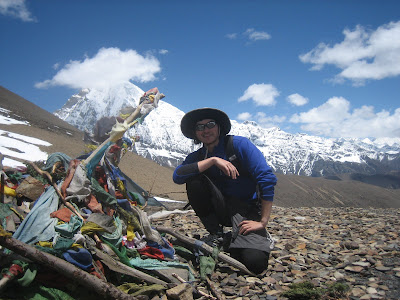
Looking west from Nyile La - Jomolhari (left), Jitchu Drake (right)


Into Lingshi valley - if you look closely you can see Lingshi Fortress in the center

A closer view of Lingshi Fortress

A man on his way to the capital Thimpu, a 4 day walk due south

Lingshi Village (~4010m) - they have the only phone in a 100km radius so i called mom and pops


I ran into this man when searching for the modest Tandro Gompa monastery, located off the trail in a rock face of a valley under Sirima Gang (5784m). He led me around to his hut and to the flat stone at the base of the monastery where sky burials are held (when a corpse is exposed on the stone and the lamas observe whether vultures appear - a good omen - since it indicates the rebirth of the deceased)


Tando Gompa

Goyok Village

Gangchetea or Great Tiger Mountain (6840m) - I wish I was able to get a better shot of this magnificent peak: its width is staggering (in person at least)

Laya village


No comments:
Post a Comment